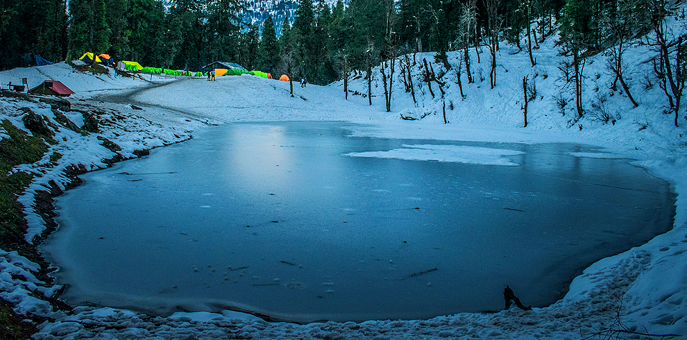
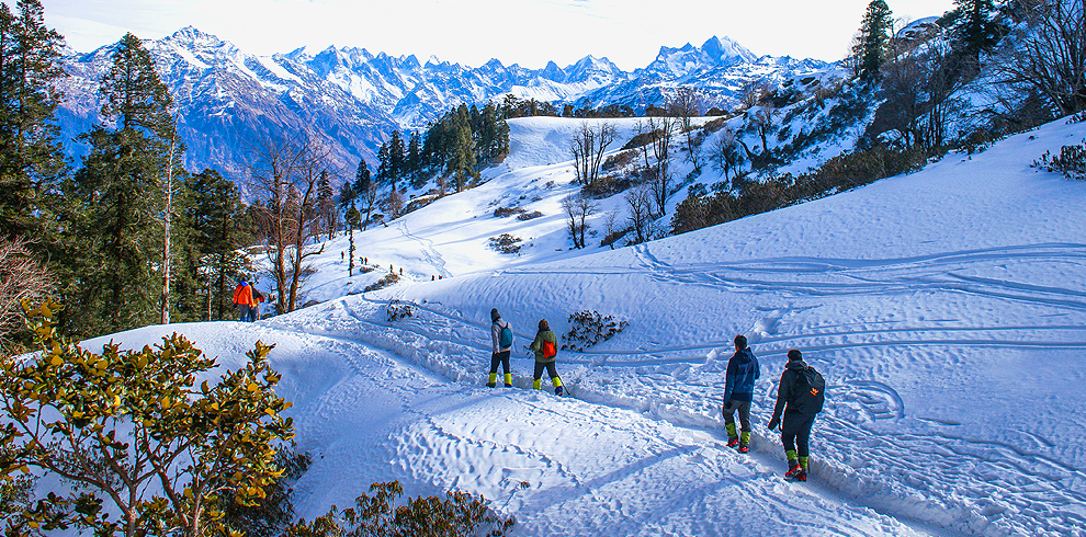
The Kedarkantha trek is located in the Uttarkashi district of Uttarakhand, India. It is situated in the western part of Uttarakhand and is accessible from the picturesque village of Sankri, which serves as the base camp for the trek. Sankri is located at an altitude of approximately 6,450 feet (1,966 meters) above sea level and is well-connected by road to Dehradun, the capital of Uttarakhand.
From Sankri, the trek takes you through dense forests, snow-covered trails, and beautiful campsites, ultimately leading to the summit of Kedarkantha Peak, which stands at an altitude of approximately 12,500 feet (3,810 meters) above sea level.
The trek offers breathtaking views of the surrounding Himalayan peaks and is known for its serene and remote location, making it a popular choice for trekkers looking to experience the beauty of the Himalayas, especially during the winter months when the region is covered in snow.
Overview
The Kedarkantha trek in Uttarakhand is a popular winter trek known for its scenic beauty, snow-covered landscapes, and stunning summit views. Here’s an overview of the trek, including distance and altitude details:
Duration: The typical duration of the Kedarkantha trek is 5 to 6 days.
Location: The Kedarkantha trek is located in the Uttarkashi district of Uttarakhand, India. It is situated in the western part of Uttarakhand and is accessible from the picturesque village of Sankri, which serves as the base camp for the trek.
Best Time to Visit: The best time to undertake the Kedarkantha trek is during the winter months, from December to April, when the region is blanketed in snow. The snowfall creates a magical winter wonderland.
Altitude:
- Kedarkantha Summit: Approximately 12,500 feet (3,800 meters) above sea level.
- Sankri (Starting Point): Approximately 6,450 feet (1,966 meters) above sea level.
Distance: Here’s a day-by-day breakdown of the trek with approximate distances and altitudes:


